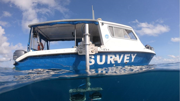
Hydrographic and Bathymetric Survey

Hydrographic and Bathymetric Survey:
- Comprehensive Survey Services: Conducting hydrographic and bathymetric surveys to map underwater topography, including depth measurements, seabed analysis, and data collection.
- Navigation Safety Assessment: Providing valuable information for safe navigation, including identifying potential hazards, charting accurate depth contours, and ensuring appropriate clearance depths.
- Environmental Impact Assessment: Assisting in environmental impact studies by collecting data on water quality, marine habitats, and sediment distribution.
×


