Home Projects Porbandar Port

CAPITAL DREDGING · 2025

Coast Guard Jetty, Porbandar Port

Capital dredging of the Indian Coast Guard berth pocket, inside a live all-weather port.

Porbandar Port, Gujarat

Coast Guard Jetty, Porbandar Port
1,09,970 m³ DREDGE QUANTITY

WHAT WE
DELIVERED

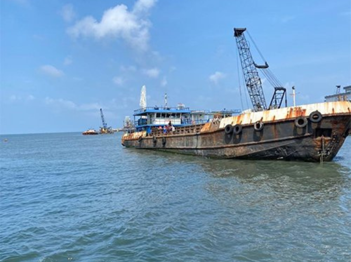
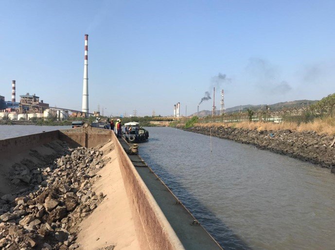
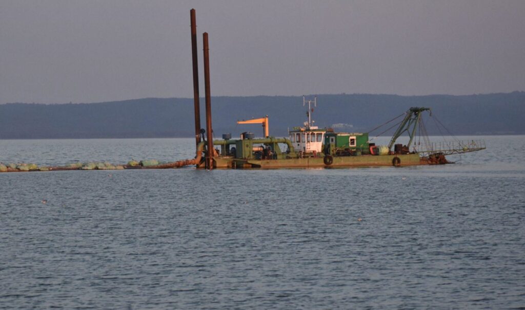
Capital dredging in front of the existing and proposed Coast Guard Jetty at Porbandar Port to 6.3 m BCD, for the Gujarat Maritime Board. Executed in a live channel shared with ICG, naval and commercial traffic, with a dredge spread planned for relocation at short notice, mixed strata from fine sand to hard rock, and all spoil barged to an offshore ground in over 20 m of water to protect the shoreline and fisheries harbour.

See it on the map
CLIENT
Gujarat Maritime Board
LOCATION
Porbandar Port, Gujarat
YEAR
2025
SCOPE
Capital dredging to 6.3 m BCD
DREDGE QUANTITY
1,09,970 m³ (estimated)
DURATION
6 months, excluding monsoon
START DATE
25 November 2025
AWARDING AUTHORITY
Gujarat Maritime Board, Office of the Executive Engineer (Mech.), PIU Porbandar

PROJECT
OVERVIEW

Porbandar Port, situated on the Arabian Sea coast of Gujarat, is an all-weather, direct-berthing commercial port serving merchant vessels, naval ships and Indian Coast Guard (ICG) ships, alongside an active fisheries harbour. The Indian Coast Guard operates a round-the-clock station at the port, and the Gujarat Maritime Board engaged our team to carry out capital dredging in front of the existing and proposed extension of the Coast Guard Jetty to ensure smooth, unhindered movement of ICG vessels.

The project required dredging the berth pocket to a design level of 6.3 m BCD, executed within a live operational environment shared with cargo vessels, naval ships and coast guard traffic, demanding a dredge spread capable of being relocated at short notice whenever shipping movements required it.

LOCATION

Porbandar Port lies on the open Arabian Sea coast. The dredging footprint covered the berth face of the existing and proposed Coast Guard Jetty, with all dredged material transported and disposed of at a designated offshore dumping ground in waters deeper than 20 m below MSL, positioned well clear of the shoreline to prevent sediment drift back into the port or fisheries area.

Port coordinates
21°38' N, 69°37' E
Disposal ground (offshore)
21°36'5.00" N, 69°29'11.74" E
Water body
Arabian Sea, open sea, all-weather direct-berthing port
Tidal range (MHHW to MLLW)
+2.50 m to +0.80 m (Admiralty Chart No. 2054)

SCOPE OF
WORK

The work covered the full dredging cycle for the Coast Guard berth pocket.

Dredging location
In front of existing and proposed extension of the Coast Guard Jetty, Porbandar Port
Level to be achieved
6.3 m BCD (+300 mm vertical / +500 mm horizontal tolerance permitted)
Estimated quantity
1,09,970 m³
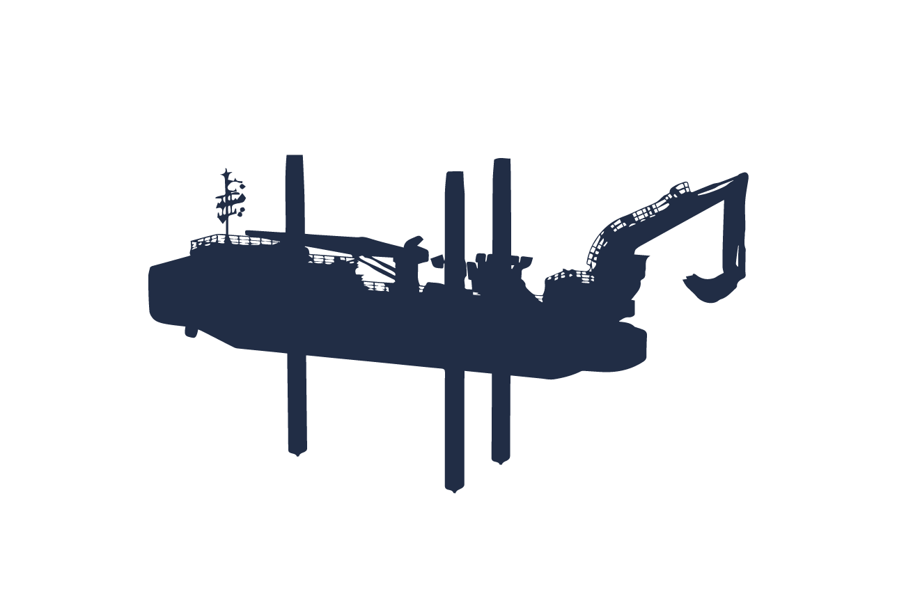
  • Mobilisation of a suitable dredge spread with ancillaries, capable of handling fine sand, clay and silt, pebbles, stray boulders and hard strata encountered in the Porbandar seabed.
  • Dredging of the berth pocket to 6.3 m BCD, within permitted vertical (+300 mm) and horizontal (+500 mm) tolerances.
  • Transport and disposal of dredged spoil at the identified offshore ground, beyond 20 m MSL depth.
  • Continuous hydrographic surveying: setting out, water-level registration, and pre-, interim and post-dredge surveys to certify quantities and levels achieved.
  • A traffic-compatible work methodology allowing the dredge spread to be relocated at short notice to keep the channel clear for ICG, naval and commercial shipping movements.

METHODOLOGY AND EXECUTION

01

Equipment and production planning

The method statement detailed the dredging equipment deployed, its capacity and per-hour output, and the expected production rates for each unit of plant mobilised, enabling a realistic execution schedule to be built around the six-month completion window, excluding monsoon.

02

Dredging methodology

A detailed bar chart sequenced the deployment of equipment and the order of work across the jetty frontage, with allowances built in for weather downtime and site constraints. Because the dredge area sits directly in an active shipping channel, the spread was planned for rapid shifting at short notice, ensuring Coast Guard and other vessel movements were never obstructed during execution.

03

Disposal plan

All dredged material was barged to the designated offshore disposal ground in water depths exceeding 20 m below MSL, in line with the environmental safeguard of keeping disposed sediment from migrating back toward the shoreline.

04

Survey methodology

Pre-dredge, interim and post-dredge hydrographic surveys were carried out to verify achieved levels and compute dredged quantities using Simpson's Rule, supported by continuous water-level registration and full setting-out of the work area with markers and beacons.

KEY CHALLENGES AND HOW THEY WERE MANAGED

01

Live shipping channel

Dredging had to proceed without disrupting Coast Guard, naval and commercial vessel movements.

How we handled it

Addressed through a mobile, quickly relocatable dredge spread.

02

Variable seabed strata

The scope anticipated everything from fine sand to hard strata and rock mass.

How we handled it

A dredge spread specification flexible enough to handle mixed ground conditions.

03

Environmentally sensitive disposal

Spoil had to be placed far enough offshore and deep enough to prevent any impact on the shoreline or fisheries area.

How we handled it

Precise navigation to the designated offshore ground, beyond 20 m below MSL.

Tell us about your seabed

Depth, deadline, geology, traffic constraints: send what you have and we will come back with a method and an indicative programme.

whatsapp